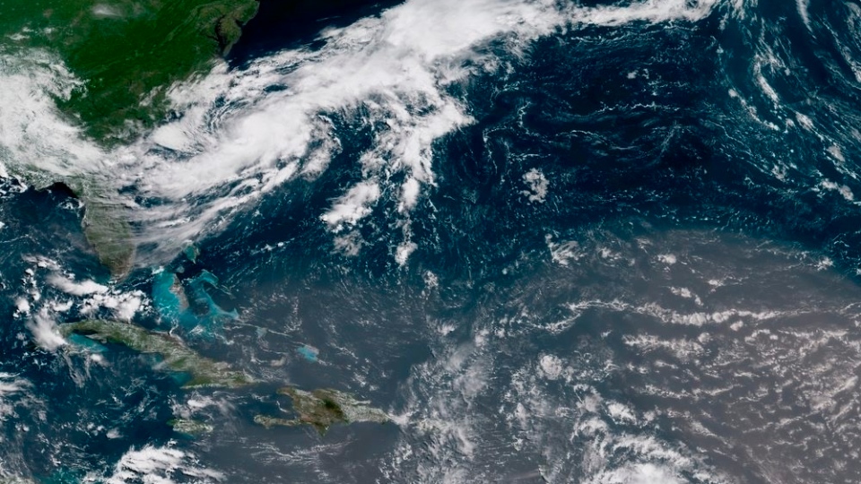
A tropical storm that formed off the U.S. coast Sunday morning could hit the Maritimes later this week.
Tropical Storm Chris continues to strengthen to the south of Cape Hatteras in North Carolina. The storm is forecast to reach hurricane strength and move northeast beginning Tuesday. The movement of the storm is expected to have some impact on both land and marine areas of Atlantic Canada later this week.
The Canadian Hurricane Centre has already issued a Tropical Cyclone Statement for parts of Atlantic Canada.
“Nova Scotia, P.E.I., southeastern New Brunswick, and eastern areas of Newfoundland should be watching the forecast for the storm this week. Most of the Maritime marine districts could see an impact from the storm, especially those near and south of Nova Scotia,” said Ian Hubbard, a meteorologist with the Canadian Hurricane Centre.
“The main concern with this type of storm is initially heavy rain and strong wind, the impact of which is highly dependent on the track the storm takes. Sometimes storm surge can be a concern, and while that is not expected at this time, that may change.”
It’s not uncommon for there to be a degree of uncertainty about the impacts of a storm such as this in a forecast that extends out several days.
As strong as these weather systems are, they are influenced by many factors in both the atmosphere and the ocean. Other weather systems, the presence of dry air near the storm, and ocean water temperatures all have an impact.
Hubbard explains that even the current stationary position of the storm is having an impact on the forecast.
“Because the storm is stationary, the winds involved are creating upwelling, bringing colder waters to the surface, and this is creating more uncertainty in the intensity of the storm,” he said. “Once the storm starts to move to the northeast, the forecast for a specific track and arrival time of associated weather will become clearer. Thursday looks to be the day the Maritimes will be impacted, followed by Newfoundland on Friday.”
Tropical storms are fueled by warm ocean surface waters. Colder waters tend to weaken these storm systems. As Tropical Storm Chris moves into the colder waters around Atlantic Canada late this week it will weaken as it moves through, eventually transitioning to a post-tropical weather system similar to the usual areas of low pressure seen moving through.
The Canadian Hurricane Centre will begin to issue regular bulletins on Tropical Storm Chris beginning Monday evening. The organization will then remain active through the week until the storm no longer poses a threat to the Canadian response zone, which includes both land and marine districts.


