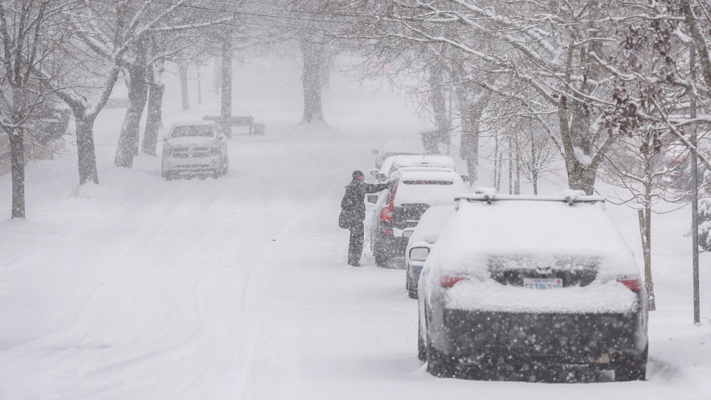
HALIFAX -- A low-pressure system will bring 5 to 15 cm of snow to parts of Nova Scotia Tuesday evening through Wednesday morning as it passes south and east of the Atlantic coastline.
Snow will develop late Tuesday afternoon and evening for the South Shore of Nova Scotia. By 9 p.m. the snow will have filled in up the Annapolis Valley and moved into Halifax. The snow will be steadiest and accumulate the most near the Atlantic coastline. By Wednesday morning, snow and flurries will be widespread across mainland Nova Scotia. The afternoon will see the snow moving east of the province with scattered, light flurries trailing behind.
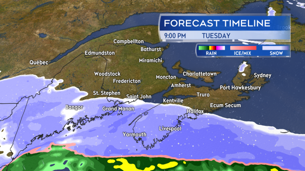
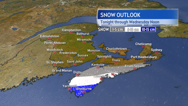
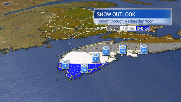
Halifax and the South Shore can expect totals of 5 to 15 cm. Given that a good 5 to 10 cm of that will be down for the Wednesday morning commute it will likely be slower and slippery on the roads. The highest snow totals -- 10 to 15 cm -- look most likely for Yarmouth, Shelburne, and Queens Counties.
Wind is not expected to have a big impact as the system moves past.
While Cape Breton, P.E.I., and New Brunswick could certainly see flurries on Wednesday, most amounts are expected to be less than 2 cm.
