Kalin's Call: Much-needed rain for Newfoundland fire; wind and smoke shift
A low-pressure system will pass south and east of Newfoundland Tuesday and Tuesday night.

Periods of rain and drizzle are forecast for the area Tuesday into Tuesday night.
While not moving directly through Newfoundland, it will pass close enough to bring much some-much needed rainfall.
Rain is forecast to be present in vicinity of the wildfire both Tuesday and Tuesday night, bringing totals of 10 to 20 mm. Higher rainfall totals of 30 to 50 mm are forecast for the Burin Peninsula and southern parts of the Avalon Peninsula.

Rain will be heavier on parts of the south coast of Newfoundland. The wildfire area may see 10 to 20 mm.
An easterly wind becoming northeast Tuesday night will accompany the rain. While the precipitation is likely to clear some smoke from the air, air quality statements are in effect for much of western Newfoundland as remaining wildfire smoke would be blown in that direction.
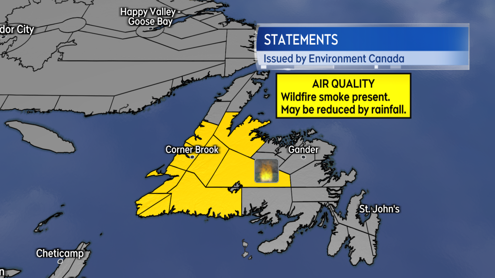
Air Quality Statements are in effect for western areas of Newfoundland as a prevailing easterly wind may blow smoke in that direction.
The weather for Wednesday and Thursday is expected to be mainly dry with a chance of showers returning on Friday. Wind on Thursday is expected to become southerly, which may once again start to blow wildfire smoke towards the north coast of Newfoundland.
CTVNews.ca Top Stories
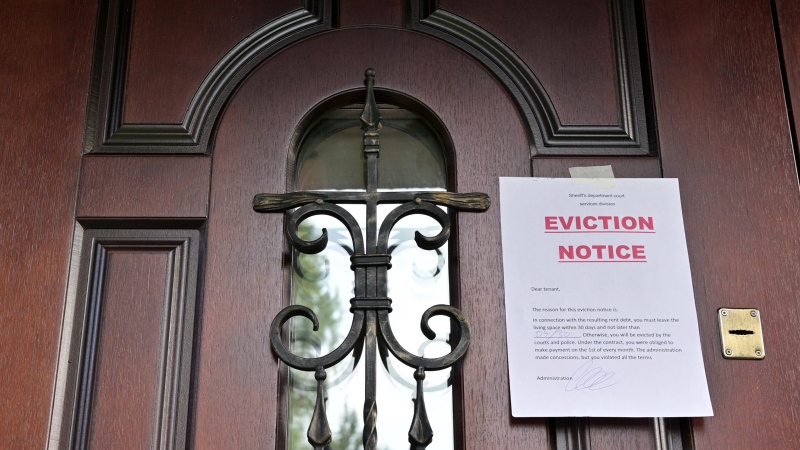
B.C. tenants evicted for landlord's use after refusing large rent increase to take over neighbouring suite
Ashley Dickey and her mother rented part of the same Coquitlam duplex in three different decades under three different landlords.
Mountain guide dies after falling into a crevasse in Banff National Park
A man who fell into a crevasse while leading a backcountry ski group deep in the Canadian Rockies has died.
Expert warns of food consumption habits amid rising prices
A new survey by Dalhousie University's Agri-Food Analytics Lab asked Canadians about their food consumption habits amid rising prices.
MPP Sarah Jama asked to leave Ontario legislature for wearing keffiyeh
MPP Sarah Jama was asked to leave the Legislative Assembly of Ontario by House Speaker Ted Arnott on Thursday for wearing a keffiyeh, a garment which has been banned at Queen’s Park.
Charlie Woods, son of Tiger, shoots 81 in U.S. Open qualifier
Charlie Woods failed to advance in a U.S. Open local qualifying event Thursday, shooting a 9-over 81 at Legacy Golf & Tennis Club.
Ex-tabloid publisher testifies he scooped up possibly damaging tales to shield his old friend Trump
As Donald Trump was running for president in 2016, his old friend at the National Enquirer was scooping up potentially damaging stories about the candidate and paying out tens of thousands of dollars to keep them from the public eye.
Here's why provinces aren't following Saskatchewan's lead on the carbon tax home heating fight
After Prime Minister Justin Trudeau said the federal government would still send Canada Carbon Rebate cheques to Saskatchewan residents, despite Saskatchewan Premier Scott Moe's decision to stop collecting the carbon tax on natural gas or home heating, questions were raised about whether other provinces would follow suit. CTV News reached out across the country and here's what we found out.
Montreal actress calls Weinstein ruling 'discouraging' but not surprising
A Montreal actress, who has previously detailed incidents she had with disgraced Hollywood producer Harvey Weinstein, says a New York Court of Appeals decision overturning his 2020 rape conviction is 'discouraging' but not surprising.
Caleb Williams, Jayden Daniels and Drake Maye make it four NFL drafts with quarterbacks going 1-3
Caleb Williams is heading to the Windy City, aiming to become the franchise quarterback Chicago has sought for decades.


